Skip to content

Topic in Geography

US Geography

The geography of the United States, from Alaska to Florida. Learn the 50 states and their capital cities, recognise the national parks and landmarks that define the American landscape, and explore the rivers, mountain ranges, lakes, deserts and volcanoes that shaped the country. Many questions are illustrated with photographs and satellite images.

Part of Geography: 3 quizzes.

Quizzes
3

3 quizzes

US Geography quizzes

Geography · US Geography

US Rivers, Mountains & Natural Wonders

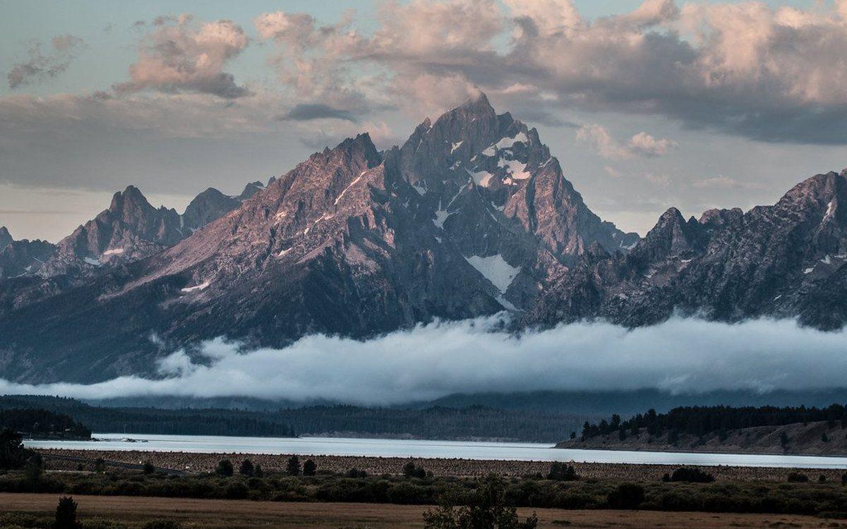
From the Great Lakes to Death Valley, explore the physical geography of the United States: its longest rivers, highest and lowest points, active volcanoes, great mountain ranges and the forces that shaped them. Several questions show a photograph or satellite image to identify.

Hard difficulty15 questions~7 min
+150 XPPlay
Geography · US Geography

US National Parks & Landmarks

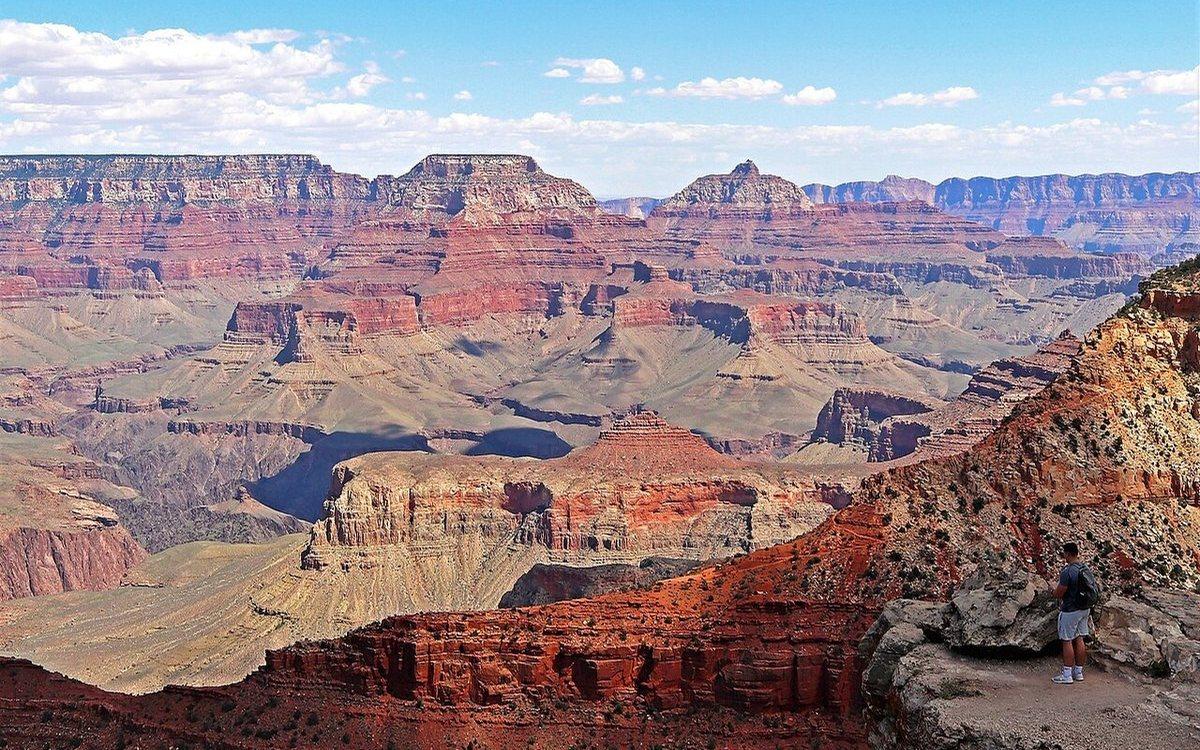
Name America's best-known natural wonders and monuments from photographs: canyons carved by rivers, erupting geysers, granite domes, red-rock arches, the continent's highest peak and the landmarks of its great cities. Every answer comes with the story behind the place.

Medium difficulty15 questions~7 min
+120 XPPlay

Geography · US Geography

US States & Capitals

Fifteen questions on the 50 states and their capital cities. Many capitals are not the biggest city in their state (Albany, not New York City; Sacramento, not Los Angeles), so expect a few traps alongside questions on state size, nicknames, borders and the newest states to join the Union.

Medium difficulty15 questions~6 min
+120 XPPlay